
Patapsco River
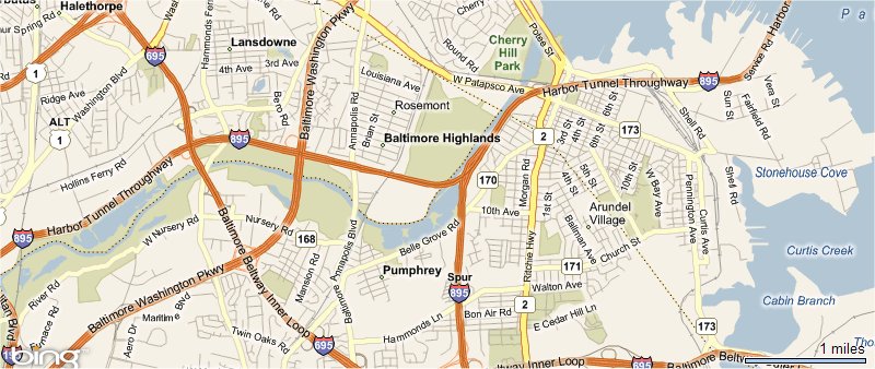
Location of John Prestidge's Land My Grandmothers side of the family!
The map above, shows the location of John Prestidge's land in Ann Arundell County, Maryland. While I can't locate the pricise location, this maps shows the entire area in which it would have been located. Today the River acts as the boundry between Ann Arundel and Balitmore County. To the south of the River is the Baltimore Washington (BWI) airport. To the north of the River a couple of miles you'll end up in downtown Balitmore. Today the land on both sides of the river lies within the Patapsco Valley State Park.
On the 1612 John Smith map, it was called the Bolus River. It has never been a major path of commerce since it is not navigable further upstream. The small, unassuming Patapsco River featured prominently in the Battle of Baltimore during the War of 1812. This is where Francis Scott Key, while aboard a British ship, wrote a poem which would later become the national anthem of the United States, The Star-Spangled Banner. Today, a red, white, and blue pylon marks the spot where the HMS Tonnant was anchored.